Ever wondered how properties are divided and borders are set?
Ever asked who those people are standing in the middle of the road with a tripod looking as though they are taking a picture?
Land surveys, measurements and management have been led by Korea Cadastral Survey Corp. in South Korea for over 100 years.
With some 4,000 experts in geospatial science and technology, the quasi-government entity known as LX, which stands for Land Expert, aims to make a second leap into the Information Age.
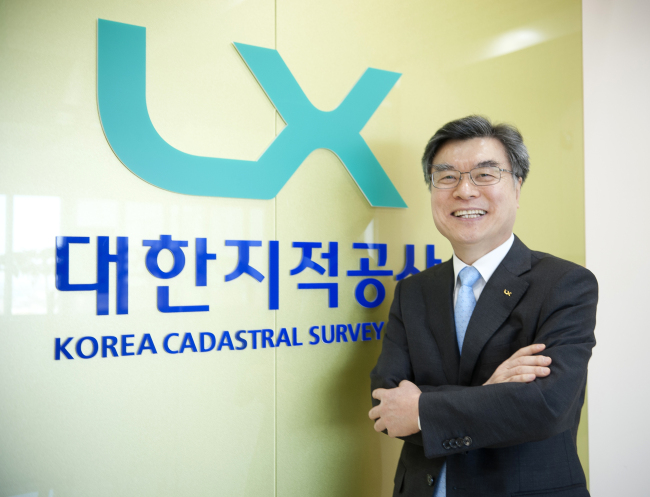
“We will embrace revolutionary changes in the Information Age by becoming a new entity that can contribute to creating new growth for the country over the next 100 years,” LX KCSC CEO Kim Young-pyo told The Korea Herald.
 |
LX KCSC CEO Kim Young-pyo (LX KCSC) |
“We have grown by providing fast and accurate cadastral surveying and technological services to the people. But we will change by growing side by side with the people in geospatial information.”
It will be renamed Korea Land Geospatial Information Corp. in June next year as it better fits with this age, but it will keep LX as part of its corporate identity, company officials said.
LX KCSC seeks to boost its capability in cadastral surveying integrated with big data analyses and 3-D and security protection technologies, to provide more efficient spatial information to a wide variety of industries beyond the construction and environment sectors.
Also, it will continue to share its know-how in the field with developing economies that hope to improve growth through efficient land management and accurate measurement systems, in line with efforts to become a hub for cadastral surveys and spatial information.
 |
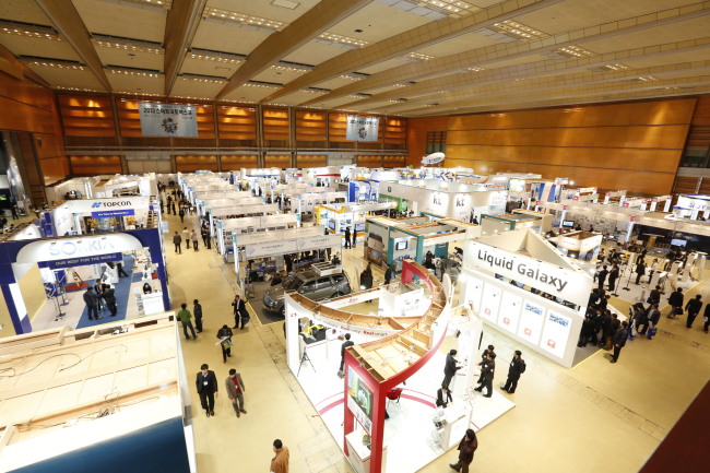
Smart Geospatial Expo 2013 (LX KCSC) |
“LX has been helping some 15 developing economies including in Africa and South America with setting up land registration systems and cadastral surveying, and provided seminars and consulting since 2006,” Kim said.
LX KCSC has helped improve land management systems for countries such as Morocco, Azerbaijan, Jamaica and Turkmenistan through Korea’s development assistance program.
Currently, it is consulting Tunisia on ways to develop a land management system through the use of IT technology, with the World Bank and the Export-Import Bank of Korea.
Also, it is participating in the Ministry of Land, Infrastructure and Transport’s project to help develop a master plan for Chile’s land information system, and conducting a feasibility study of Bangladesh’s digital land management system, Kim said.
LX KCSC said it hopes to further establish ties with developing countries in geospatial science through the Smart Geospatial Expo, which the company will participate in until this Wednesday in Seoul.
By Park Hyong-ki (
hkp@heraldcorp.com)


