KT and the Korea Aerospace Research Institute will co-develop Korea’s first Satellite Based Augmentation System GPS system, which is expected to bring technological advancements in the fields of transport, defense and science, the mobile carrier announced Wednesday.
The company said a consortium led by KT has been selected as the preferred bidder for the project by the Ministry of Land, Infrastructure and Transport.
 |
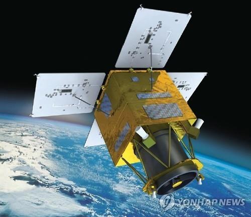
A satellite to be developed by the Korea Aerospace Research Institute. (Yonhap file photo provided by KARI) |
The establishment of the SABS GPS system is a project commissioned by the ministry to improve the safety of flights during takeoffs and landings.
The government has been devising measures to slash the error range of the current GPS system from 30 meters to 1 to 2 meters, offering more precise location information for flights, helping improve safety and cutting fuel costs.
The KT consortium, comprised of mobile carrier KT and satellite manufacturer KT SAT, is planning to converge the fifth-generation wireless network system with satellite-related technologies for the GPS project.
By 2020, the consortium will complete the installation of the required network equipment and run test services for various industries for two years, with the ultimate goal of launching the GPS service in around October 2022.
The GPS system would be used for navigation, disaster prevention programs, drones and vehicles, the KARI said.
“KT will develop the GPS technology that will provide specialized services for protecting the people’s life and assets,” said Park Jung-ho, a senior executive in charge of integrated security marketing at KT.
By Song Su-hyun (song@heralcorp.com)


