 |
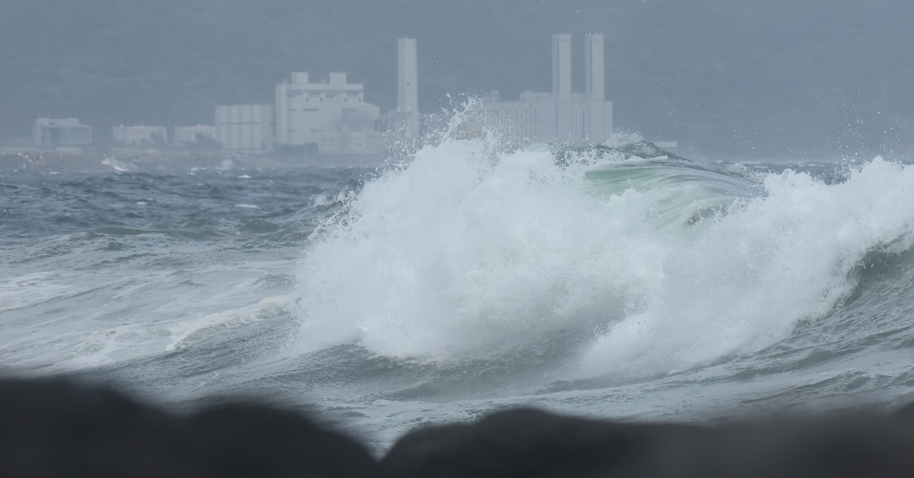
High waves hit the shore of Seogwipo on Jeju Island on Tuesday, as Typhoon Jongdari approaches the Korean Peninsula. (Yonhap) |
A typhoon warning has been issued across Jeju Island as of 2 p.m., Tuesday, as the Korea Meteorological Administration expects Typhoon Jongdari to get close to the western coast of the island around 6 p.m. the same day.
The KMA forecast heavy rain, ranging from 30 to 50 millimeters per hour, accompanied by thunder and lightning, to fall on Jeju Island from Tuesday afternoon into the evening. Until Wednesday, the island can expect to see up to 30 to 80 mm of rain, while heavily hit areas such as the mountainous regions, may see up to 100 mm of rain.
Jeju Island also saw strong winds on Tuesday afternoon, with maximum gusts of up to 20 to 30 meters per second, anticipated to also last into Wednesday.
In response to the approaching typhoon, the Ministry of Interior and Safety activated a level 1 emergency -- the second highest of four, requiring "caution" -- as of 8 a.m., Tuesday morning. Interior Minister Lee Sang-min ordered all related agencies to make “thorough preparatory measures to minimize damages.”
All seven hiking trails at Jeju’s Hallasan have been completely restricted, while all passenger ferry services to and from the coastal ports of Jeju were canceled as of 4 p.m.
As Typhoon Jongdari will bring hot and humid air onto the Korean Peninsula, rain will fall in the southern regions of South Korea starting on Tuesday afternoon. Starting on Wednesday, sporadic rain will begin to fall nationwide.
From Tuesday, major cities such as Busan, Ulsan and Daegu may see 30 to 80 mm of rain until Wednesday. From Wednesday, the Greater Seoul area, as well as Gangwon Province and the North and South Chungcheong Provinces, may see 20 to 60 mm of rain, with heavily hit areas seeing up to 80 mm.
Typhoon Jongdari is expected to move upward until it weakens to a low-pressure system off the coastal city of Mokpo in South Jeolla Province. However, even when the typhoon clouds weaken, easterly winds blowing into Korea due to Typhoon Jongdari and the low pressure system coming in from the Shandong Peninsula will bring nationwide rain until Thursday.
The KMA anticipates temperatures to be slightly lower from Wednesday to Thursday due to continuous rainfall. However, due to the warm high-pressure systems and warm sea water temperatures surrounding Korea, temperatures will begin to hike up from Friday, with heat waves anticipated to last until Aug. 30.


![[Today’s K-pop] Blackpink’s Jennie, Lisa invited to Coachella as solo acts](http://res.heraldm.com/phpwas/restmb_idxmake.php?idx=644&simg=/content/image/2024/11/21/20241121050099_0.jpg)
