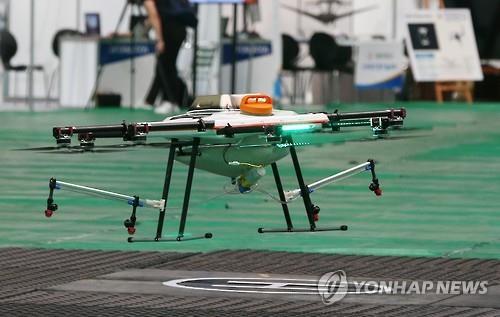
Korea will be creating a 3-D map for drones to ensure safety and prevent accidents as drones become more widely used, according to the Transport Ministry on Thursday.
The Ministry of Land, Infrastructure and Transport said that current drone users have found it inconvenient or unsafe to fly drones using the current two-dimensional map which does not account for topographical differences and does not show obstacles such as electric wires.

The three-dimensional map will help guide drones safely as more users fly drones further than visible range. According to the ministry, there is increasing demand for maps and navigation for drones, particularly in the freight and transport industries.
Once the map is created, it will be tested in the the Jeonju and Yeongwol areas, which have already been screened for drone safety by the Transport Ministry.
By Won Ho-jung (
hjwon@heraldcorp.com)


![[Today’s K-pop] Blackpink’s Jennie, Lisa invited to Coachella as solo acts](http://res.heraldm.com/phpwas/restmb_idxmake.php?idx=644&simg=/content/image/2024/11/21/20241121050099_0.jpg)