 |
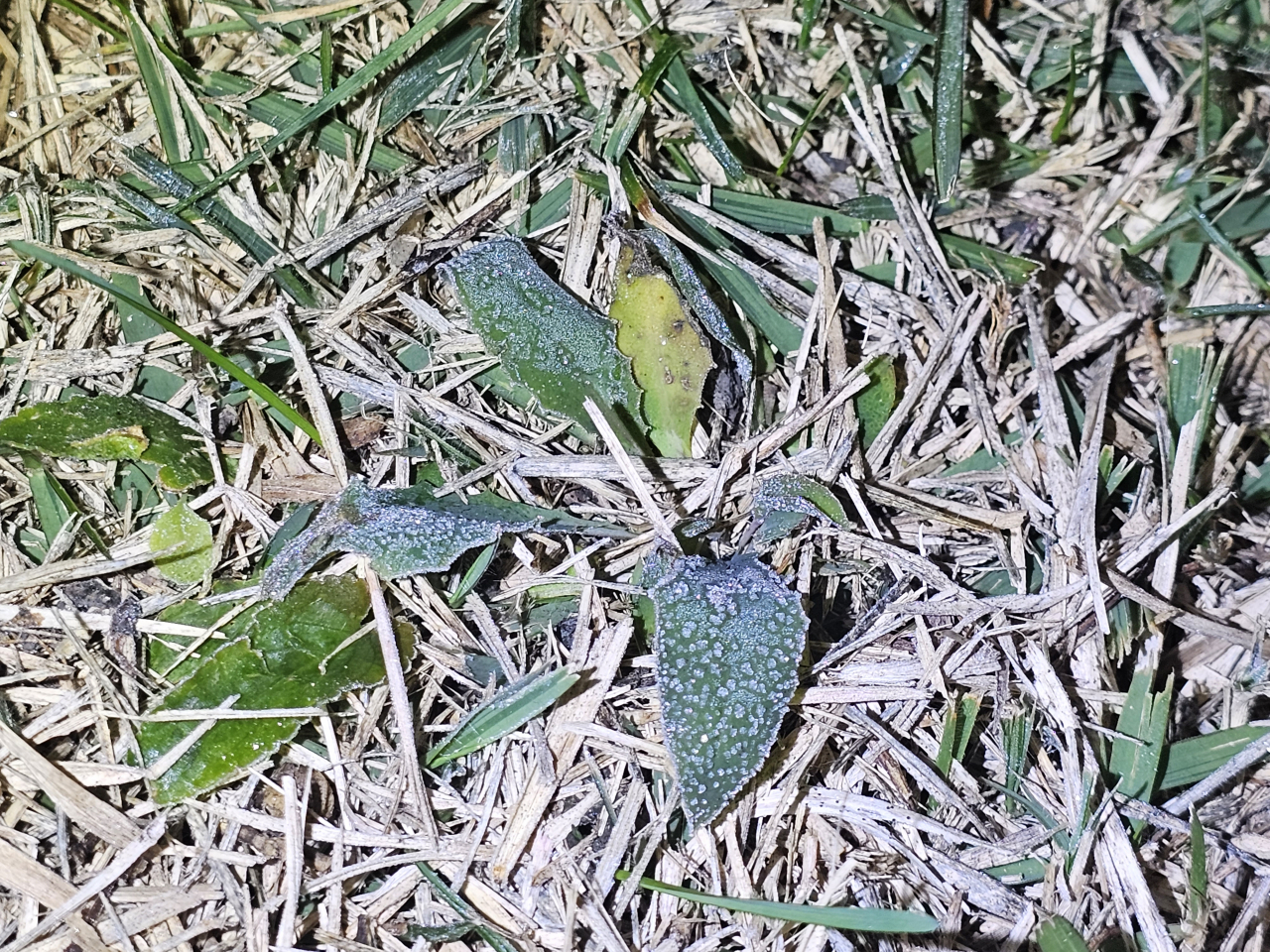
The weather agency confirmed that Seoul's first frost of the winter had been observed on Wednesday. (Korea Meteorological Administration) |
Morning temperatures fell below freezing in several regions across the country on Wednesday, the weather agency said.
In Seoul, the first frost was observed on Wednesday, 21 days later than last year and 11 days later than the average record from 1991 to 2020. According to the Korea Meteorological Administration, Jeonju, Gwangju, Seoul, Suwon, Cheongju, Daegu, and Incheon also saw the first frost as of 6 a.m.
The first ice was also observed in Seoul, Suwon, and Andong. All were about 20 days later than last year, and 5 days, 7 days, and 10 days later than average year, respectively, due to the unusually warm weather before the sudden cold wave hit the country.
Frost in official meteorological terminology refers to the phenomenon in which water vapor in the atmosphere attaches to the ground or objects in the form of ice crystals. Ice refers to the freezing of water left outdoors. Both phenomena are officially recorded after the agency directly observes them.
The KMA said Wednesday’s lowest temperature was 2 to 5 degrees lower than the previous day, as cold air flowed in from the northwest of the peninsula this morning and temperatures fell overnight. Temperatures are expected to rise from daytime, recovering the average year temperatures until Friday morning. From the weekend, however, more severe cold is expected.
The Seoul and surrounding area, Gangwon, Chungcheong Province and Gyeongsang Province are expected to receive about 5 millimeters of rain on Thursday. Except for the eastern part of Gangwon Province, the central part of the peninsula is expected to see occasional rain from Thursday afternoon to night, while North and South Jeolla Province from late Thursday afternoon to Friday morning. In the eastern part of South Gyeongsang Province, rain is expected to continue until noon on Friday.


![[Today’s K-pop] Blackpink’s Jennie, Lisa invited to Coachella as solo acts](http://res.heraldm.com/phpwas/restmb_idxmake.php?idx=644&simg=/content/image/2024/11/21/20241121050099_0.jpg)