 |
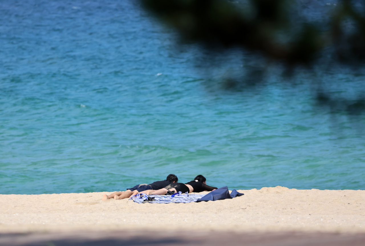
Visitors at Gyeongpo Beach in Gangneung, Gangwon Province sunbathe as daytime temperatures reached as high as 34 degrees Celsius on Tuesday. (Yonhap) |
Though Chuseok is drawing near, the weather for Korea's traditional midautumn harvest festival remains similar to summer conditions, as heat wave advisories were issued in most parts of the country Tuesday.
As of Tuesday, several major cities in Korea saw their highest September temperatures on record, with cities such as Daejeon seeing daytime temperatures reach as high as 35.3 degrees Celsius, marking the first time since 1969 that the city saw a temperature as high as 35 C in September.
The capital city of Seoul saw daytime temperatures reach 35 C on Tuesday, which was also the highest temperature recorded in September since 1939. At 4 p.m. the same day, a heat wave warning at the "serious" level was issued across the capital city as the highest apparent temperature was projected to be 35 C or higher for more than two days. This marked the first time that a warning at that level was sent in September, since heat wave warning levels were first developed in 2008.
Seoul also had its latest tropical night on record since 1935 Tuesday, with overnight temperatures recorded at 25.6 C at 6 a.m. Tropical nights refer to a weather phenomenon where temperatures do not drop below 25 C overnight.
Other cities, including Icheon in Gyeonggi Province and Chungju in North Chungcheong Province, saw temperatures reach up to 33.5 C and 34.3 C, respectively, also marked as their highest temperatures on record in September.
With average daytime temperatures estimated to reach between 30 C and 35 C in most parts of the country, the Korea Meteorological Administration issued heat wave advisories, as the highest apparent temperatures were projected to be 33 C or higher for more than two days.
“The recent wave of high temperatures is largely due to the warm Tibetan high pressure system that continues to cover the mid and upper layers of the atmosphere over the Korean Peninsula, as well as the warm, humid southeasterly winds entering the country from the lower layer of the atmosphere,” said a KMA official at a press briefing on Tuesday.
The weather agency added that the recent chain of heat waves is to peak on Wednesday, with average morning lows estimated to reach 25 C and average daytime temperatures estimated to reach as high as 35 C. From Thursday, the KMA estimates daytime temperatures to decrease slightly due to an inflow of cold air from the north and rain.
From Tuesday afternoon, rain of around 30 millimeters per hour is expected to fall on Jeju Island until Wednesday night.
Most regions will see sporadic rain Thursday, with the central region consisting of the Greater Seoul area, Gangwon Province and the South and North Chungcheong provinces expecting to see up to 60 mm of rain.
Though subject to changes, the KMA added that temperatures are prone to rise again from Sunday, with high temperatures expected to persist next week.


![[Today’s K-pop] Blackpink’s Jennie, Lisa invited to Coachella as solo acts](http://res.heraldm.com/phpwas/restmb_idxmake.php?idx=644&simg=/content/image/2024/11/21/20241121050099_0.jpg)