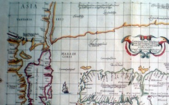
Korea finds 17th century marine chart depicting Sea of Korea
Foreign affairsApr 15, 2012
South Korea has found a 17th century nautical chart made by a British explorer marking the expanse of water between Korea and Japan as the Sea of Korea. This 17th century nautical chart made by British explorer Sir Robert Dudley describes waters between Korea and Japan as "Mare di Corai(the Sea of Korea). (Yonhap News)The chart drawn by Sir Robert Dudley in 1646 was revealed just a week ahead of a


